Internet &User Interface SpinMeister on 15 Feb 2006 02:07 pm
Geocoding Categories

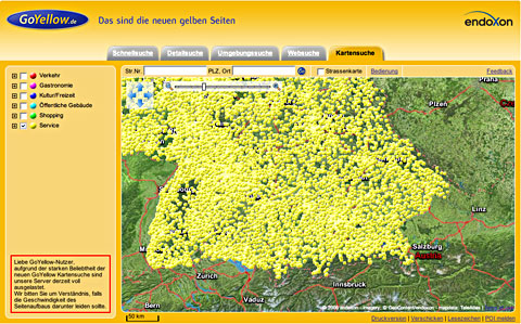
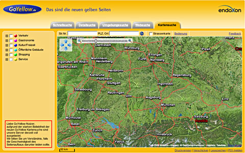
One of my current projects is working with geocoding and problems of graphic expressions and user interfaces on maps. The above example is from the German Yellow pages, and is a fairly wide view of southern Germany with the Alps at the bottom. The second picture is the result after selecting “Services” at the left. A myriad of services appear, which can only be made sense of when zooming closer into a city.
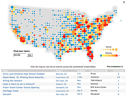
Another map from Topix.net an online chat forum, shows the areas of the country indicating the quantity and recency of their forum activity. This has caught the attention of marketing mavens, who make a study of consumer trends and behavior.


